Trail Stats
Distance: 10.6 KM loop
Elevation: 750m
Time: 5 hours
Having spent a couple hours in Kananaskis last year on our Banff road trip, I knew we would need to go back some day to explore even further. With a 4-day weekend on the cards, we decided last minute that a 12 hour drive to Alberta was exactly what we should do!
Because this trip was last minute, nothing was planned and we didn’t know where we would camp or what hikes we would do, but since it’s prime larch time (end of September), I did some research to see where would be best for a larch-filled hike. Unfortunately, I couldn’t get a booking for Moraine Lake in Banff, so Kananaskis became the focus and I found the perfect trail!

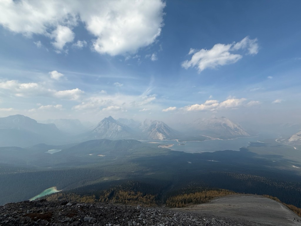
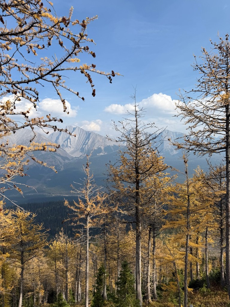
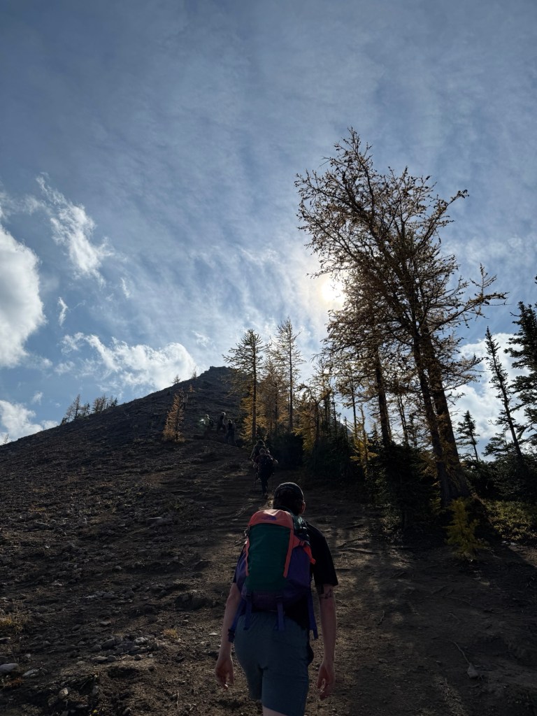
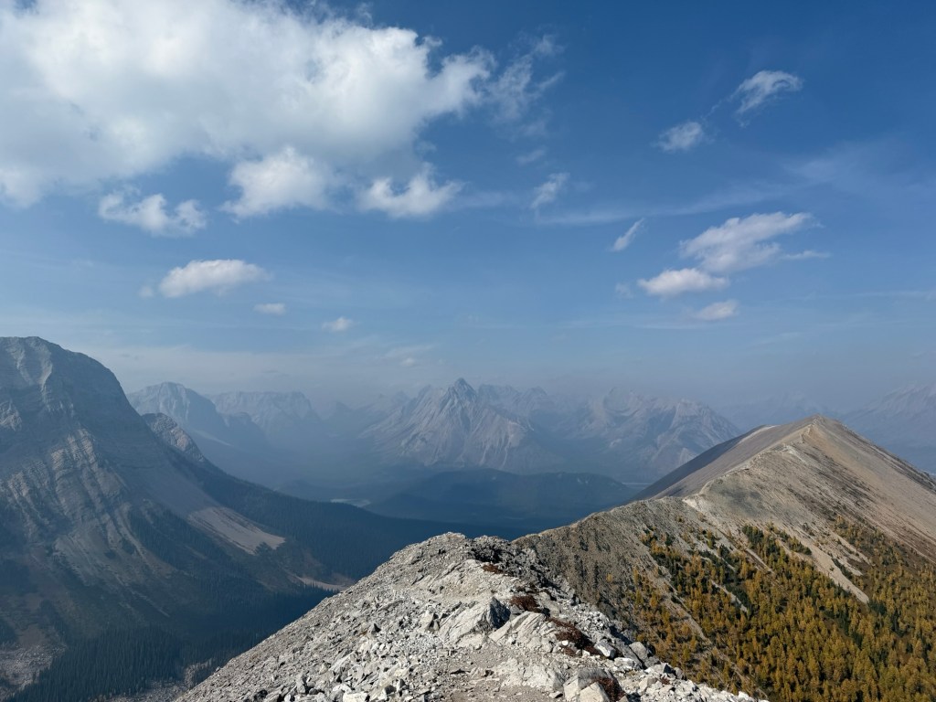
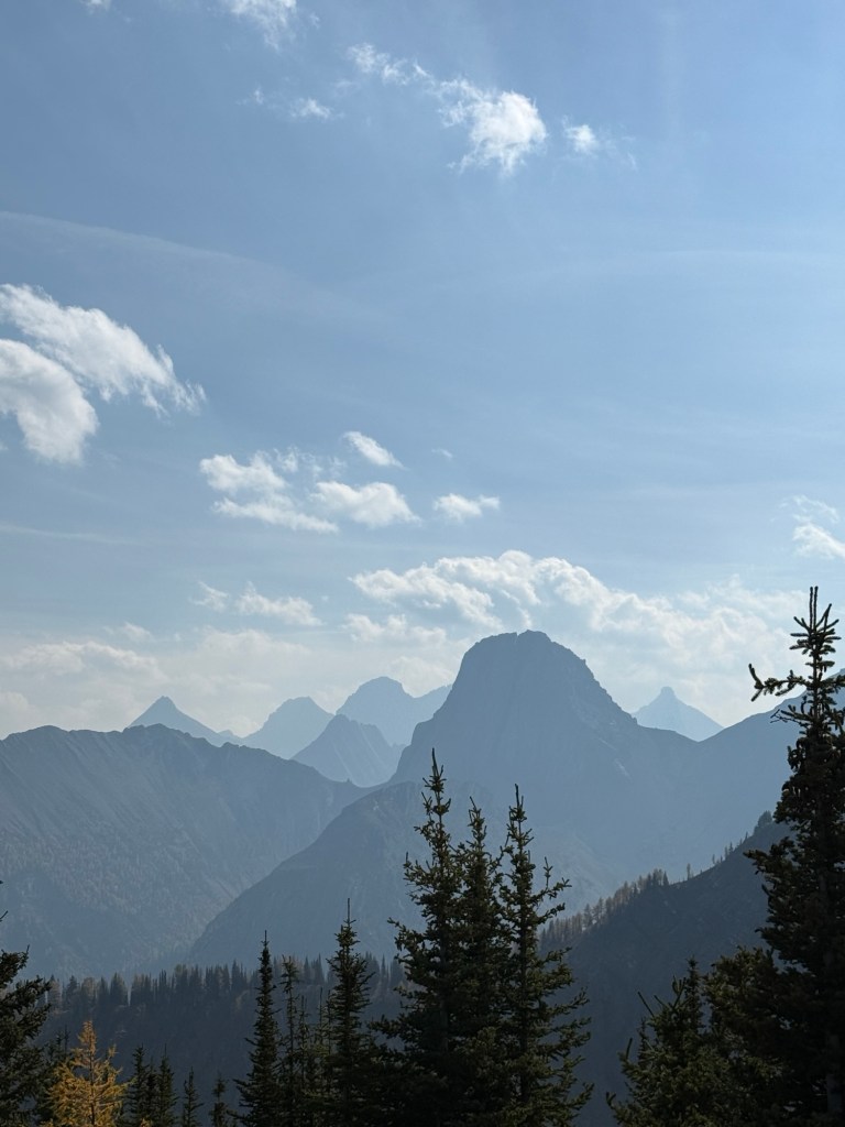
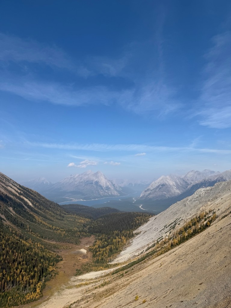
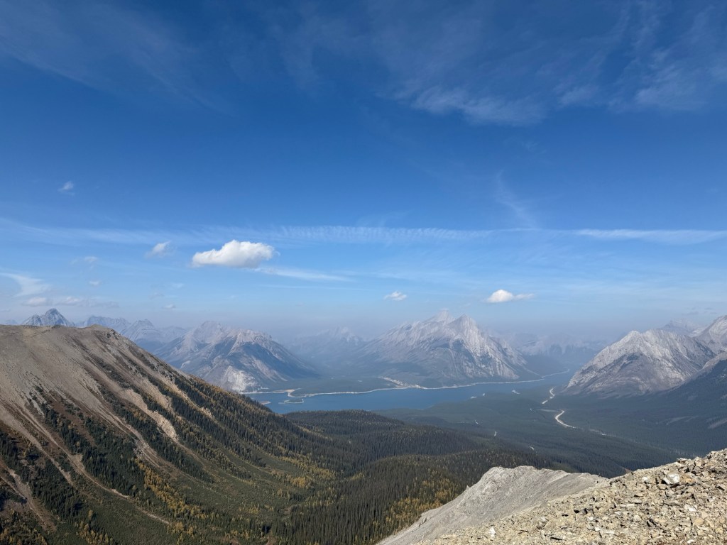
Tent Ridge is truly one of a kind. Not just because you enter a golden meadow of larches, but because the majority of the hike is atop the ridge of the mountains so you are walking along with panoramic views of Spray Valley.


This trail is a loop, (the best kind of trail) and there is definitely a recommended route to take. As you approach a small carpark, the trail head is to your left. There is another trail head at the end of the carpark but you are best to take the other entrance. This is what most people do so
- you won’t be going against the traffic
- there are some pretty steep sections that are much easier to climb up versus go down
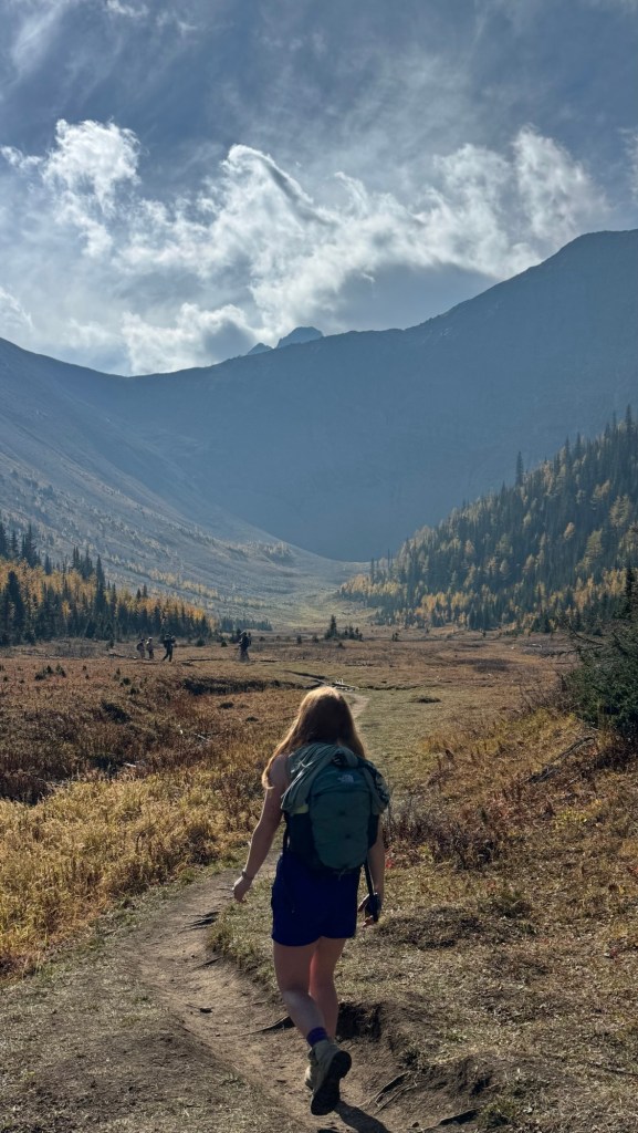
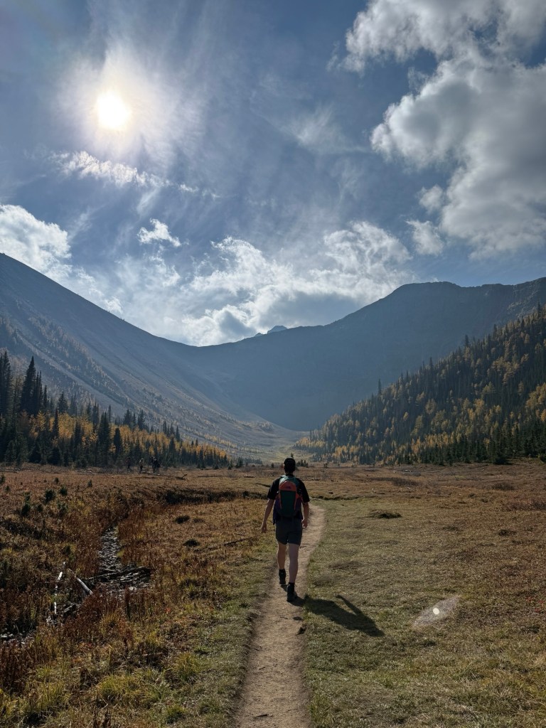
By beginning at this trailhead, the trail takes you through a forest for some time before opening up into a meadow of larches. We could see the outlines of other hikers all along the top of the mountains that surrounded the meadow and realized that’s where we were going to be hiking which was so exciting! Usually, you just climb to the top of the mountain and that’s that, you relax and take in the view before heading back down. Whereas this time, the majority of the hike is trailing across the mountain’s ridges from one side all the way across to the other.
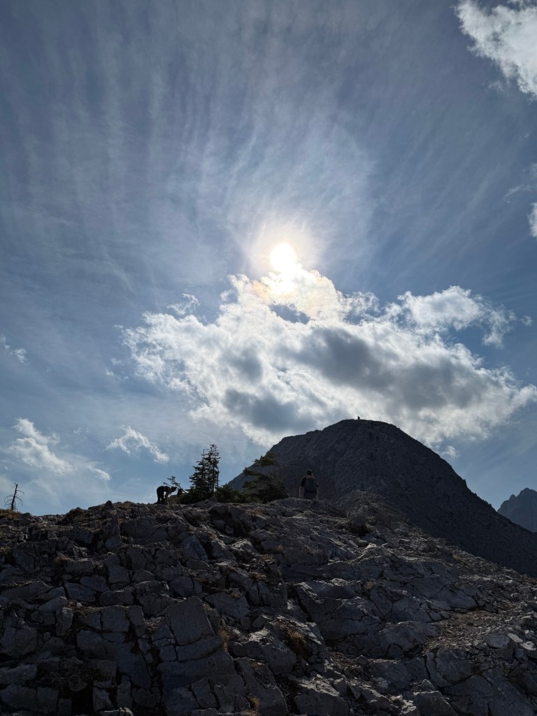


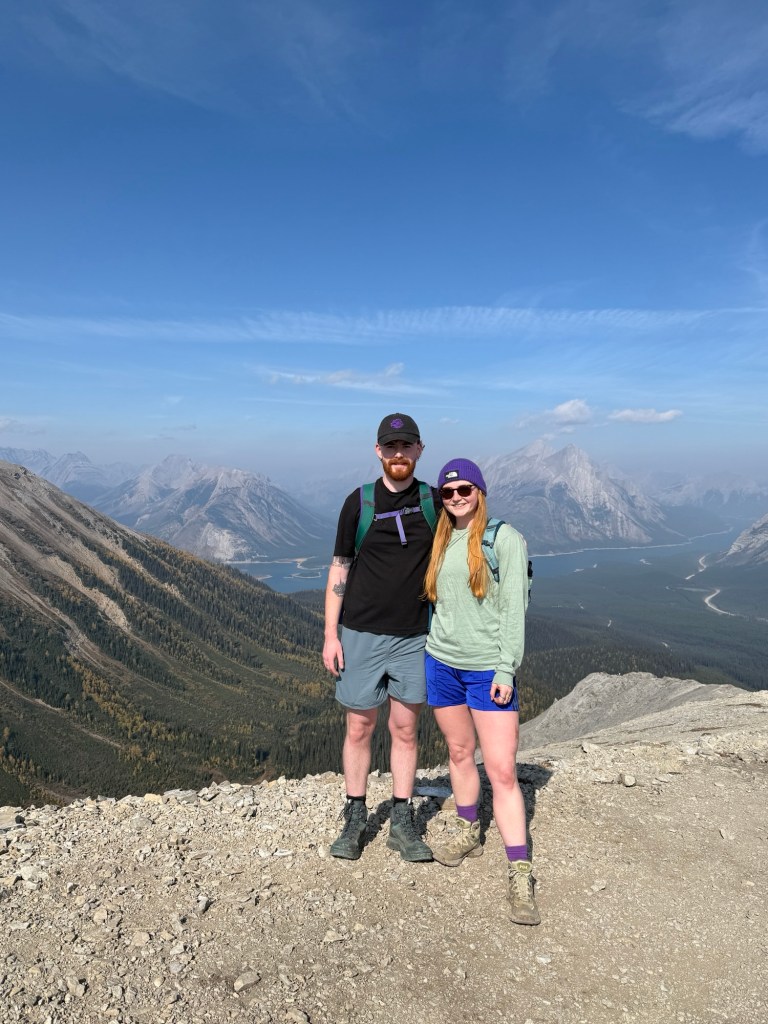
The hike is 10.6 KM with 750m elevation gain. It took us approximately 5 hours with a lunchbreak at the top. The trail involves scrambling up to the ridge where you’ll eventually make it to a weather station. You could stop here for lunch or continue across the saddle to get to the highest point (about 2500m). It is a scramble to climb up this section as it is very steep and it was also very windy which didn’t help! But as I mentioned, I’d much rather climb up than go down this part.

The trailhead is along a forest service road (Mount Shark), just past the Mount Engadine Lodge. The carpark is small but there is room to park on the side of the road which is what a lot of people were doing. I imagine this hike would be great during the summer too, but the colour of the larches definitely enhanced the views and make it extra special!


Leave a comment